“`html
Exploring Tsukuba: A Guide to Maps and Navigation
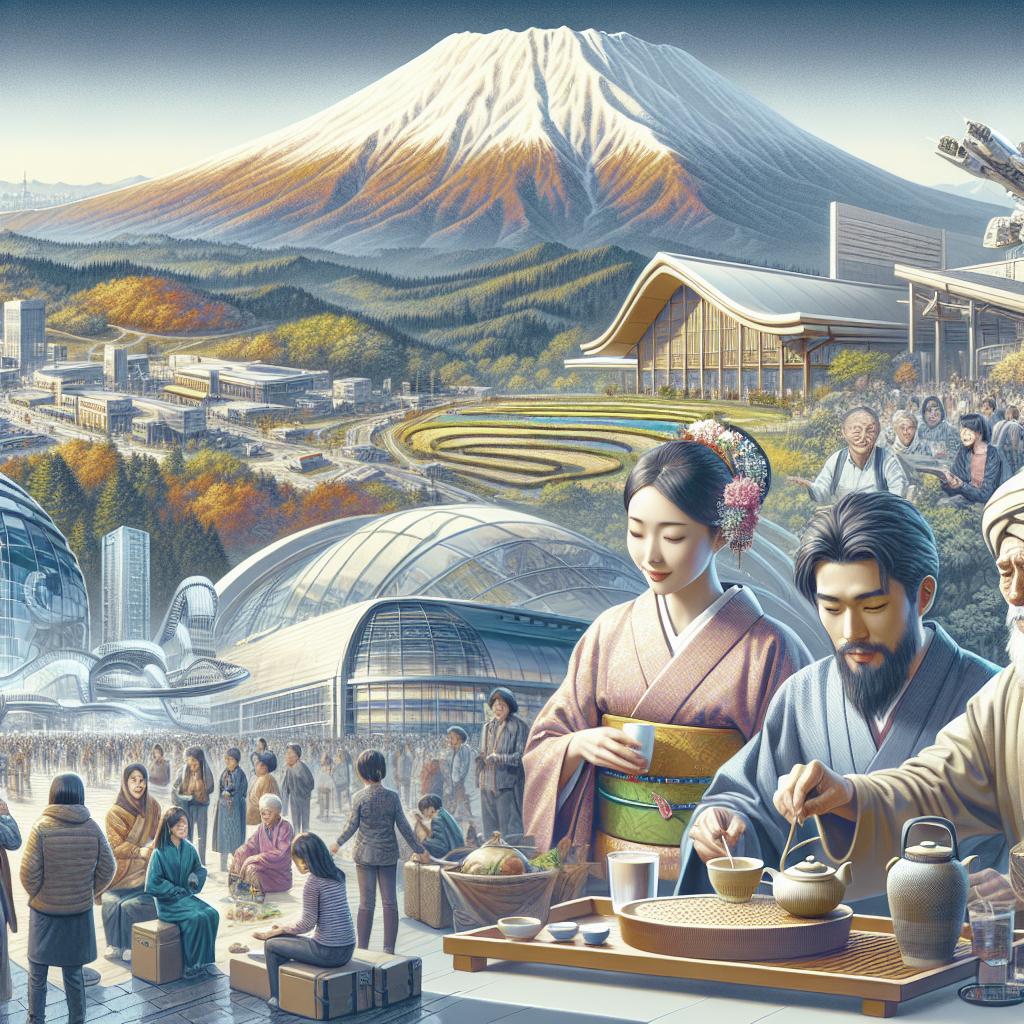
Nestled in the Ibaraki Prefecture of Japan, Tsukuba is a dynamic city that artfully blends innovation with tradition. Known as a hub for research and technology, thanks to the renowned Tsukuba Science City, it attracts visitors from around the globe. Whether you’re a first-time traveler or a returning visitor, understanding the layout and navigation of Tsukuba can significantly enhance your experience. This article provides comprehensive insights into Tsukuba city maps and navigation strategies, ensuring you make the most out of your visit. From understanding the intricacies of local maps to mastering efficient routes, we’ve got your journey covered.
Maps
Tsukuba’s city map is a crucial resource for any traveler hoping to explore its many offerings. Given the city’s role as Japan’s science city, it is well-equipped with detailed digital and print maps that delineate its major districts, residential areas, and notable landmarks like the Tsukuba Space Center and Mount Tsukuba. These maps can be easily obtained at tourist information centers, train stations, and online platforms, providing an excellent starting point for your exploration.
The digital era has further digitized access to city maps, with online platforms like Google Maps and local apps offering interactive features. These maps often highlight public transport routes, cycling paths, and walking trails, making it easier for tech-savvy travelers to navigate efficiently. Some local apps even provide augmented reality features, offering an immersive experience by overlaying digital information onto the physical environment.
Moreover, for those interested in the cultural side of Tsukuba, thematic maps are available that focus on areas like traditional markets, art galleries, and historical sites. These specialized maps offer travelers an in-depth look at the city’s rich cultural tapestry, allowing exploration beyond the common tourist trails.
Directions
Navigating Tsukuba can be an adventure in itself, given its sprawling landscape dotted with research institutions, lush parks, and urban conveniences. For efficient navigation, understanding the city’s transportation options is key. Tsukuba is serviceably connected by the Tsukuba Express railway line, which links the city to Tokyo in under an hour. This makes the Tsukuba Station a central pivot for travelers accessing the city via public transport.
Within Tsukuba, buses are a commendable choice for local navigation. Tsukuba’s bus network is extensive, covering major research centers, commercial areas, and residential districts. Timetables and route maps, often available in both English and Japanese, help non-local travelers in efficiently planning their trips within the city. For an alternative and eco-friendly mode of transport, rental bicycles are widely available throughout Tsukuba, further supported by well-marked cycling paths.
For those preferring driving, Tsukuba’s roads are well-maintained, and car rentals are readily available. However, travelers should be mindful of the traffic rules and peak hours, especially during weekdays when science park-related commutes tend to peak. With GPS devices and smartphone navigation apps, finding your way through Tsukuba’s streets has never been more convenient.
Future Prospects
The landscape of navigation in Tsukuba continues to evolve with advancements in technology and infrastructure. As the city integrates more smart city initiatives, we can anticipate even more user-friendly navigation solutions. These might include AI-driven direction services and more comprehensive real-time transit data. Additionally, collaborations with tech companies could lead to innovative mapping services, facilitating seamless travel experiences for both locals and visitors.
The commitment to enhance navigation reflects Tsukuba’s overall vision of being a beacon of modernity while preserving the charm of its historical and cultural assets. As Tsukuba continues to grow, the blend of cutting-edge technology and traditional navigation methods promises a brighter future for travelers seeking to uncover its many treasures.
| Category | Highlights |
|---|---|
| Maps | City maps, digital access, thematic maps (cultural, historical) |
| Directions | Tsukuba Express, buses, rental bicycles, car rentals |
| Future Prospects | Smart city initiatives, AI-driven services, tech collaborations |
“`